Pyrenees National Park
http://www.parc-pyrenees.com/
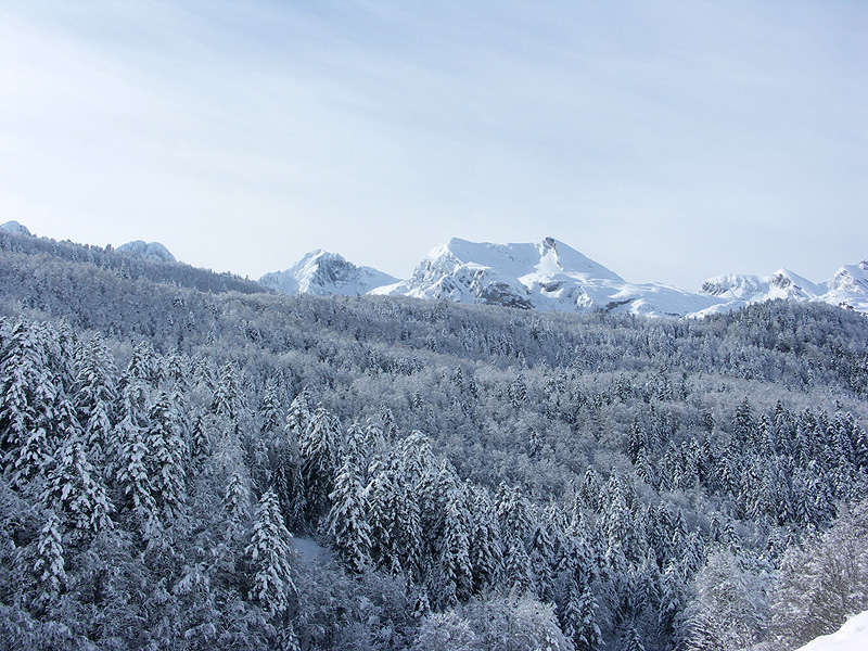
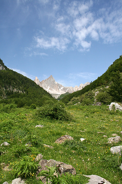
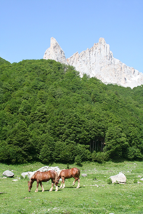
The Pyrenees National Park was created in 1967 to protect a wide corridor (110 kilometres long) that covered the Pyrenean mountains of the Pyrenées Atlantiques and Hautes Pyrenées departments, including the Aspe, Ossau, Aure, Arrens, Cauterets and Luz valleys. There are 457 km2 in total. Vignemale is the mountain of reference in the Park, as well as its highest peak at 3,298 m above sea level. The protected zone extends to the Neouville Natural Reserve, as well as a peripheral area which includes 87 villages from both departments.
The Park shares 15 kilometres of frontier with Ordesa in the Gavarnie valley, a circumstance that has lead to a close cooperation over the last twenty years in terms of working methods and protection policies. In 1997 both areas (Monte Perdido and Gavarnie) were declared Unesco World Heritage sites, which is considered by many to be the first step towards creating the long-desired International Pyrenees Park. For the time being, both areas are covered by protective legislation that responds to the need to conserve unique ecosystems. Places like the Midi d’Ossau, the cirques of Lescun, Gavarnie, Balaitous and Vignemale, which are of such importance to the mountain range as a whole are all within the Pyrenees National Park.
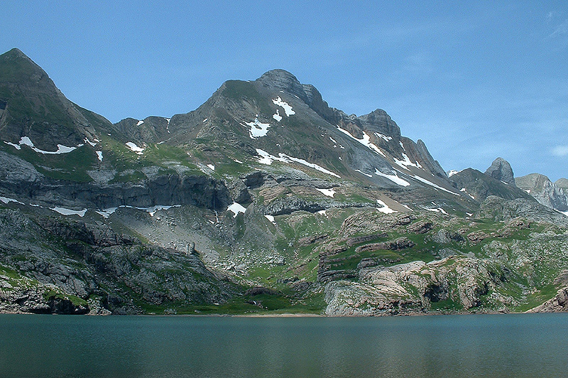
Given the altitude of the protected territory (above 1000 m), the area is practically uninhabited during most of the year, and it is only during the summer months that shepherds and mountaineers indicate any kind of human presence. It is therefore easy to understand the outstanding qualities of its landscapes. The 200 tarns, leafy beech, fir and black pine forests, the extensive variety of fauna of which the chamois population is the most noteworthy and the extraordinary catalogue of flora are the principal virtues of the French park. There are more than 300kms of signposted pathways in the park, as well as an ample network of mountain refuges and campsites. In Etsaut in the Aspe Valley, there is a Visitor Information Centre for the Park.
Also consult...
¤ Monuments
¤ Nature
¤ Villages
¤ Sport
¤ Tourist Offices
¤ Museums and Interpretation Centres
Guided tours 360°
Ciudadela de Jaca
[Español] · [Inglés]
Monasterio de San Juan de la Peña
[Español] · [Inglés]
Fort du Portalet
[Español] · [Francés]
follow us in...


 Comarca de La Jacetania
C/ Ferrocarril s/n 22700
JACA (Huesca)
T. (+34) 974 356 980
F. (+34) 974 355 241
:: Oficina de Turismo de JACA: 974 360 098
:: Oficina de Turismo de CANFRANC:
974 373 141
Site Map


